4TH ST & BRIDGE BLVD SW, ALBUQUERQUE—The story of so many of our communities in New Mexico is the story of Ups and Downs: economic boosts followed by changing conditions and economic wash out. Many times the railroad is involved, and the Barelas community is no exception. Many times the coming of the freeways have left towns stranded, and no longer having access to the pocketbooks of the traveling public. This too is part of the story of Barelas.
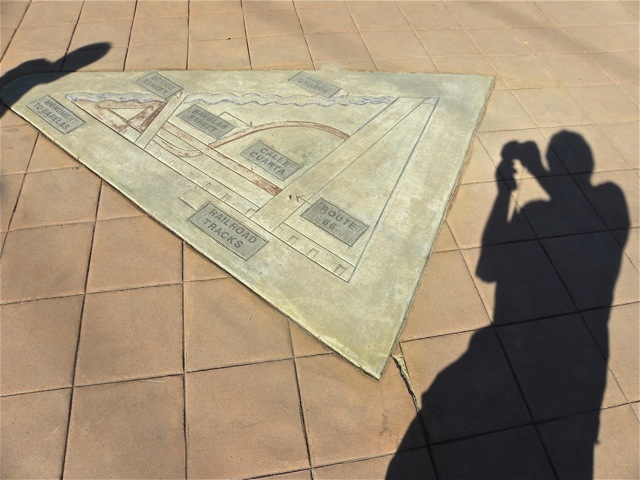
Barelas, a neighborhood just south of downtown, is an area roughly bordered by downtown, the Rio Grande, and the railroad tracks. 4th St. which at one time was also Routes 66 and 85, runs straight through the middle. All of these are important in tracing the development of this section of town.
It started off as a settlement next to one of the great fords of the Rio Grande. Apparently it was a hundred yards wide and not over three feet deep. In today’s world, with our all the dams north of us and in a general drought besides, that doesn’t sound like such a big deal. But in the 1880’s it was reason enough for 350 people to call it home, at least according to the census. By contrast, Albuquerque at that time had 2,135 residents.
Barelas is actually older than Albuquerque’s Old Town, and can trace its beginning to early in the 17th century, but it didn’t seem to get very big at that time. However, it was an important stop and river crossing on El Camino Real.
The next big thing was the coming of the railroad in 1880. The Atchinson, Topeka, and Santa Fe set up its repair shops and roundhouse in the Barelas community. This was an economic boom and brought more people as well. There were lots of railroad employees living in the area.
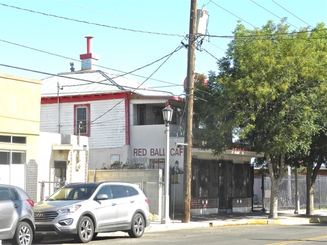
4th St., which runs right down the middle of Barelas, was made a part of Route 66 when it first was designated in 1926. Even though the re-routing of 66 in 1938 bypassed Barelas, it continued to flourish well into the 1950’s when 4th St. had traffic of 4,000 to 6,000 cars per day.
After all these developments, business in Barelas was booming. Stores opened. The streets were busy. The sidewalks were busy. Then things started to change, and Barelas suffered a series of setbacks:
● People didn’t have to ford the Rio Grande anymore; they used bridges.
● After the locomotives converted from steam to diesel, the railroad closed its nearby shops in the 1970‘s.
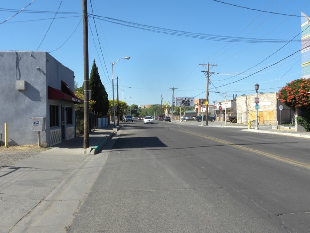
● 4th St. became less important as well. I-25 took away a lot of what was left of the thru-traffic going north and south.
● And then, in an “et tu Brute” moment, the city of Albuquerque closed off 4th St. at Central Ave. to make Civic Plaza and a pedestrian mall. So 4th St., that great north/south corridor, which proudly bore the numbers of both Routes 66 and 85, now led nowhere…except as the back way to Isleta Pueblo and Belen.
● And Central Ave., which after 1938 might very well be called “The Main Street of America,” was not the main street of Barelas at all.
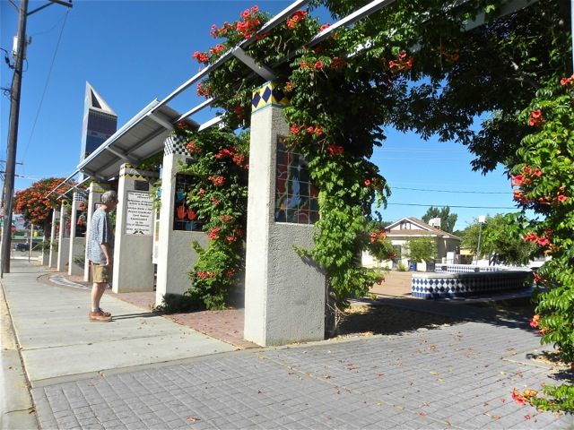
Barelas, which for so long had made its livelihood from people passing through town, now had to find a way to reinvent itself. Some of the ways it is doing this still relies on the passing parade.
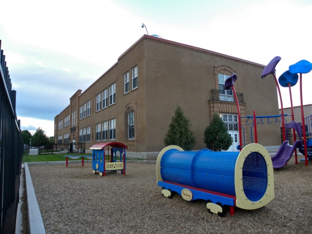
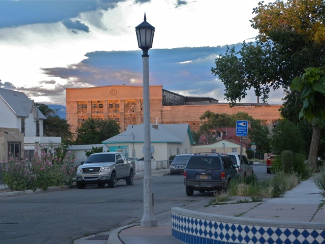
The National Hispanic Cultural Center draws people from all over the United States and the world. The rail yard, unused for decades, has turned into a city-wide attraction with its weekend market and Wheels Museum. Tingley Beach, now re-done, is probably the most loved park in town. And the bosque bike path opens up the beauty of the riverside to an expanding number of people. Even the reopened Coronado School attracts kids from all over the city.
In fact, the big issue now seems to be a worry over gentrification. Wow. That’s some series of Ups and Downs. Maybe it’s time for a visit.